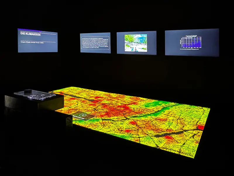
Munich’s Urban Digital Twin: Making City Data Useful for Planning and Public Participation
OGC Sensor Planning Service (SPS) ogc.org
Listen to this summary
Around the world, cities are changing faster than ever, constantly making decisions that reshape how people live: where bike lanes should go, how new neighborhoods should develop, and which measures will bring them closer to climate neutrality. But how can planners explain their choices, evaluate and understand the potential impact, and involve citizens in the process? Answering these questions requires more than good intentions: it requires reliable data, a clear view of possible outcomes, and meaningful public engagement.
In Munich, geospatial data and the city’s urban digital twin are helping us address these challenges in practical ways. With OGC Connect iDays 2026 coming up in Munich on November 23–24, we are sharing our experiences of using data and visualization to support urban planning and public participation. We explore what has worked, what we have learned about interoperability and open standards, and why the success of a digital twin depends as much on people and communication as it does on technology.
More ways to use this
Open on another device

Scan to open this page. Your saved notes and account access are not included.